- From: Philip Rhoades <phil@pricom.com.au>
- Date: Wed, 13 Dec 2017 22:25:01 +1100
- To: www-svg@w3.org
Received on Wednesday, 13 December 2017 11:25:44 UTC
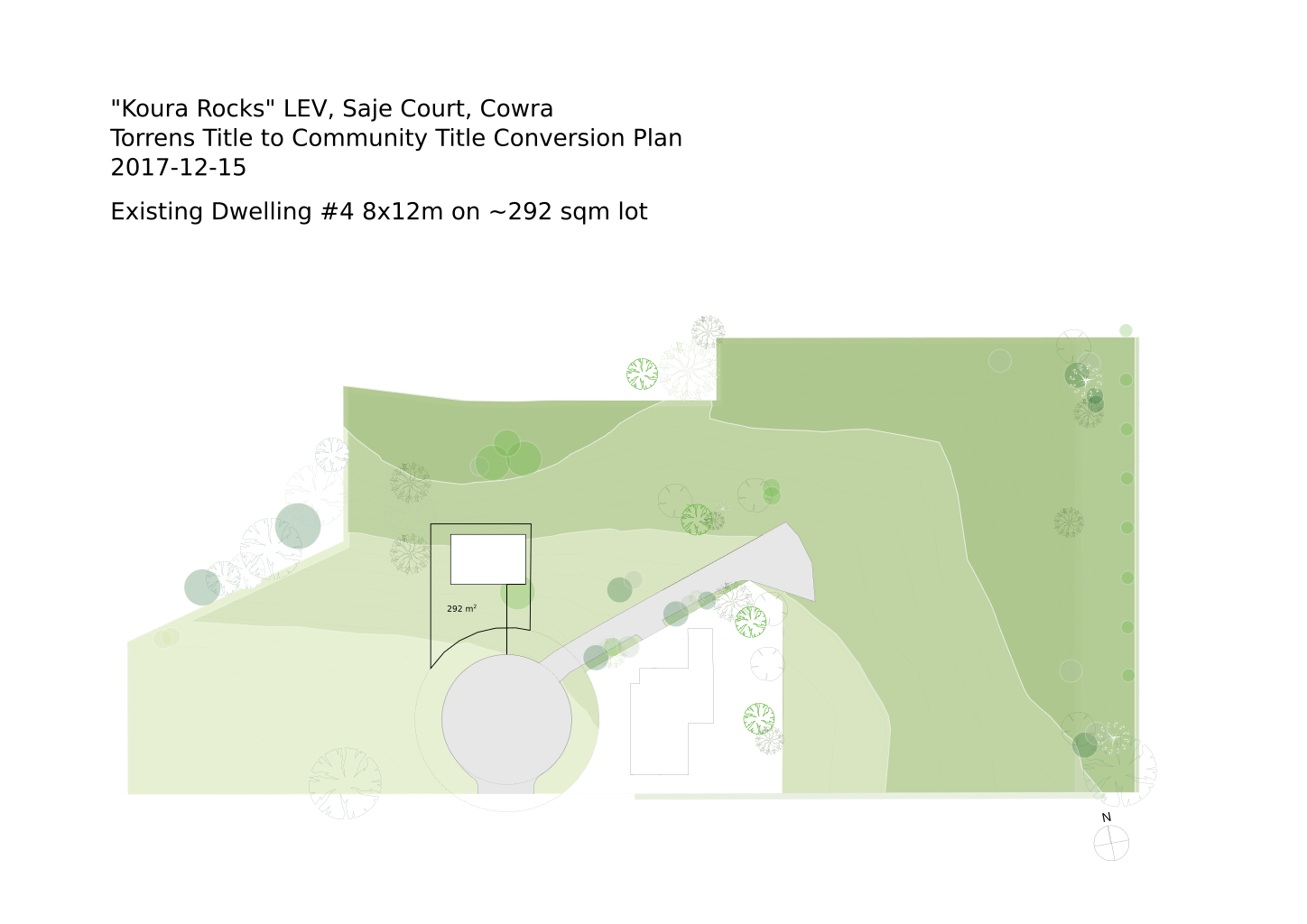
People,

I have done a bit of Googling but am a little overwhelmed about where to
start - I want to add an interactive 1 sqm grid to the attached plan (I
have the original as a SVG file but it is too large to attach - I
imported it from a PDF file) square with longitude and latitude such
that people could click a rectangle of squares to indicate a proposed
new building lot on the site.  Is SVG the right tool to build such an
interactive map for a web page?

Suggestions about where to start looking would be greatly appreciated.

Thanks,

Phil.
--
Philip Rhoades

PO Box 896
Cowra  NSW  2794
Australia
E-mail:  phil@pricom.com.au
Received on Wednesday, 13 December 2017 11:25:44 UTC